1. Objective
The Phase 2 Reassessment is triggered when a wreck is prioritized for a physical survey. Its goal is to supersede the Phase 1 OSINT assessment with high-fidelity, in-situ ground-truth data.
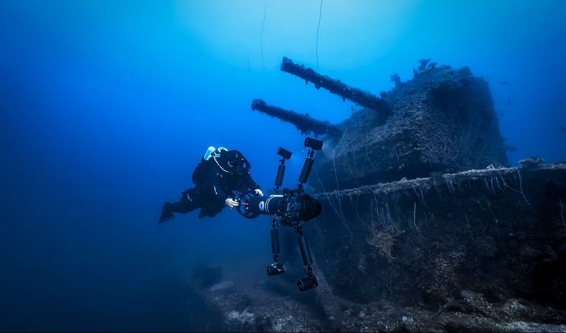
This assessment is driven by an expert researcher or surveyor (Human-in-the-Loop 2) who inputs data gathered directly from an ROV, AUV, or dive team survey.
2. Methodology: Ground-Truth Validation
The expert analyst integrates the new data, re-calculating the WERP score. The core principle is that measured data replaces inferred data.
Required In-Situ Data Inputs
- Exact Coordinates: Survey-grade latitude and longitude.
- Measured Depth (m): Precise depth.
- Water Temperature (°C): In-situ bottom water temperature.
- Water pH: In-situ water pH.
- Seabed Type: Confirmed via visual survey (e.g., “Fine sand,” “Silt”).
- Structural Condition: A direct visual assessment (e.g., “Fragile,” “Moderate,” “Intact”).
- Survey Summary: Qualitative notes from the survey team.
3. Phase 2 Scoring Updates
3.1. Wreck Condition Score (WCS)
Goal: Update vulnerability with observed data.
- Age, Vessel Type/Size, Sinking Trauma: Historical; typically unchanged from Phase 1.
- Structural Integrity: Must be updated using the direct visual Structural Condition from the survey.
3.2. Pollutant Hazard Score (PHS)
Goal: Re-validate pollutant threat.
- PHS typically carries over from Phase 1, unless the survey provides new evidence (e.g., active leak, visible munitions), in which case update the scores accordingly.
3.3. Environmental Sensitivity Index (ESI)
Goal: Refine environmental context with exact location.
- Recalculate using the wreck’s exact coordinates (may increase/decrease proximity scores).
- Update ecosystem sensitivity based on confirmed seabed habitat where applicable.
3.4. Risk Prioritisation Multipliers (RPM)
Goal: Update accelerants with measured data.
- Thermal (1.0–1.4): Recalculate using in‑situ Water Temperature (e.g., cold water < 5°C → 1.0, slows corrosion).
- Physical (1.0–1.4): Use exact coordinates to refine seismic/storm threats (OSINT).
- Chemical (1.0–1.2): Recalculate using in‑situ Water pH (acidic < 7.9 → higher multiplier).
4. Final Score Calculation
WERP_Risk_Score = (WCS_total + ESI_total) × PHS_total × RPM_finalMultiplierThis new score represents the most accurate, scientifically validated risk assessment for the wreck.