1. Introduction
The IJN Amakasu Maru No. 1 (a 7,187 GRT cargo ship) was torpedoed and sunk in 1944. As a WWII-era vessel, it represents a significant potential pollution threat. This document provides a case study of the Wreck Environmental Risk Prioritisation (WERP) protocol, demonstrating the two-phase assessment process.
- Phase 1 (Initial Assessment): A low-cost triage based on real Open-Source Intelligence (OSINT).
- Phase 2 (Reassessment): A high-fidelity update using high-fidelity data.
Note on Data: The Phase 1 assessment is based on real OSINT. The Phase 2 in-situ survey data (depth, temp, pH, and condition) has been simulated for illustrative purposes to demonstrate the protocol's re-calculation and validation capabilities.
2. Phase 1: Initial OSINT Assessment
The Phase 1 assessment was conducted using historical records, which placed the wreck near Wake Island. With no survey data, key parameters had to be inferred per protocol.
- Structural Integrity: Inferred as “Severely Compromised” (Score 5/5) based on age (87 years) and sinking trauma (torpedo).
- Environmentals: In-situ temperature and pH were unknown. RPMs were based on regional OSINT.
- Pollutant Load: Inferred from vessel type (Fuel=Score 6, Munitions=Score 1, POPs/Cargo=Score 2, Heavy Metals=Score 2).
Phase 1 WERP Scores (Inferred)
| Component | Score | Rationale |
|---|---|---|
| WCS Total | 15 / 20 | High score driven by inferred 'Severely Compromised' integrity (5/5). (Scale 0-5 per parameter) |
| PHS Total | 4.2 / 10 | (6×0.6) + (1×0.2) + (2×0.1) + (2×0.1). Significant fuel load. |
| ESI Total | 19 / 40 | High sensitivity. Located near Pacific Remote Islands Marine National Monument. (Scale 0-10 per parameter) |
| RPM Total | 1.32x | (1.1 Thermal) × (1.2 Physical) × (1.0 Chemical). Calculated additively per protocol: 1.0 + 0.1 + 0.2 + 0.0 = 1.3× |
| Final Score | 33.0 | (15 WCS + 4.2 PHS + (19 ESI / 3)) × 1.3 RPM |
3. Phase 2: In-Situ Reassessment (Ground-Truth)
A Phase 2 reassessment was triggered. The following in-situ data was simulated based on realistic survey parameters to demonstrate the Phase 2 workflow.
Simulated In-Situ Survey Data
- Location: Confirmed near Wake Island. 19.27° N, 166.62° E.
- Depth: 1000 m
- Water Temperature: 4°C (Cold)
- Water pH: 7.8 (Acidic)
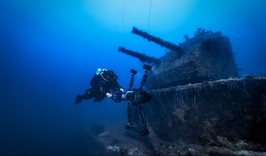
- Structural Condition: “Remarkably intact.” Survey summary states: “The vessel sits upright on the seabed... The bow and stern are in good condition... The pilothouse is still in place.” Torpedo damage is localized to the port stern.
This new data directly supersedes Phase 1 inferences, forcing a recalculation of the WERP scores.
Phase 2 WERP Scores (Corrected)
| Component | Score | Rationale |
|---|---|---|
| WCS Total | 12 / 20 | Score decreased. The Structural Integrity score was corrected from 5/5 (inferred collapse) to 2/5 (observed intact) based on survey data. |
| PHS Total | 4.2 / 10 | No change. The pollutant load is assumed to be the same. |
| ESI Total | 19 / 40 | No change. The location was confirmed. |
| RPM Total | 1.3× | Recalculated. Thermal decreased to 1.0 (4°C slows corrosion); Chemical increased to 1.1 (pH 7.8 acidic); Physical 1.2 (typhoon OSINT). Additive calc: 1.0 + 0.0 + 0.2 + 0.1 = 1.3× |
| Final Score | 30.5 | (12 WCS + 4.2 PHS + (19 ESI / 3)) × 1.3 RPM |
4. Case Study Conclusion
- Phase 1 worked as intended. It flagged a wreck as high-risk based on a worst-case (and reasonable) assumption of collapse.
- Phase 2 corrected the intelligence. In-situ survey provided crucial data that lowered the WCS score, revealing the wreck is more stable than assumed.
- The risk profile changed. RPM factors were corrected by in-situ data, resulting in the same final multiplier in this instance.
The final WERP score was lowered from 33.0 to 30.5. The wreck remains a high-priority “Watch” target due to its high ESI and PHS, but the urgency for remediation (based on WCS) has been reduced, allowing resources to be diverted to other, more fragile wrecks identified through the same WERP process.